
Walk Gilbert Streets by Address
A sound Gilbert street directory search uses several records in sequence. Start with one normalized address. The Maricopa County Assessor Parcel Search can turn that address into an assessor parcel number, or APN, plus a title owner, situs address, mailing address, subdivision, and current deed number. The situs address locates the land. The mailing address is where tax notices go, and it may be elsewhere. Keep both, but do not read either as proof of occupancy.
The most useful chain is short. Each result gives the key for the next source. It also limits same-name errors when Gilbert streets contain trusts, company-owned parcels, or owners who receive mail outside Arizona.
- Normalize the street number, directional, name, and type, then search the Assessor by address.
- Copy the APN, subdivision or MCR, situs address, mailing address, owner, and deed number.
- Open the parcel in county GIS and click the adjoining lots to walk the block by street.
- Carry the deed number into the Recorder, then search each seller as an earlier buyer.
- Add lawful voter evidence, Town permit files, and a dated criss-cross directory only when the research question needs them.
This flow separates current title, land identity, and possible residence. It is the core of an address-first Gilbert street directory.
Search Gilbert Parcel Records
The Assessor supports more than a plain address box. A Gilbert street search can use APN, owner, formatted address, subdivision, or MCR. MCR is the county map-record reference tied to a recorded subdivision map. The owner search works best with a full first name. Address searches may work without city, state, ZIP, or even the street type. Those options matter when the displayed street form differs from the words in an older deed or permit.
| Search key | Accepted clue | Best street use |
|---|---|---|
| APN | Book-map-item form, with or without separators | Return to one exact parcel |
| Owner | Surname plus full given name | Find other parcels held by the same party |
| Address | Street number and name; city and ZIP may be left out | Begin from a known Gilbert address |
| Subdivision or MCR | Recorded tract or map reference | List the parcels that make up one development |
The parcel return can include the owner and tax-mail address, deed date and number, sale facts, land size, subdivision, and five years of valuation data. A business-personal-property or mobile-home record uses separate search paths. Those are distinct from the real-property roll.
Note: A parcel owner is not automatically a Gilbert resident, and a tax mailing address is not an occupant list.
Browse Gilbert Streets in GIS
The Maricopa County Assessor Parcel Viewer turns a single address result into a map walk. Choose Search By, then What I Know. The viewer accepts parcel number, owner name, address, subdivision, MCR, or section-township-range. It also has address and intersection autocomplete. Select a result to zoom, then click the next parcel polygon. Feature Information changes to that lot, which lets a researcher record APNs and owners one at a time along a Gilbert block.
The selection cap is 1,000. That makes the viewer useful for a block, subdivision, or bounded part of a street, not as a full export of every Gilbert resident. Town GIS adds another layer. Its public service catalog includes addresses, parcels, annexations, neighborhoods, planning cases, recorded plats, buildings, and aerial imagery. County GIS establishes the parcel. Town GIS helps explain whether that parcel is inside Gilbert and which local file may exist.
- Parcel
- A mapped unit of land with its own APN.
- Situs address
- The street address assigned to the physical parcel, not the tax-mail destination.
- Plat
- A recorded map that divides land into lots, blocks, streets, and easements.
- Criss-cross directory
- A historical directory arranged by address or street rather than only by surname.
Read Gilbert Address Records
No single official system is a complete Gilbert street directory. The parcel roll is strongest for title and land facts. Deeds preserve transfer parties and legal descriptions. Tax records add a parcel-keyed payment trail. Town files can date work or a planning case. Historical directories may name an occupant at the time a volume was issued. Arizona voter data has strict access and use rules and is not a public street browser.
| Address source | Keeper | Street evidence | Access path |
|---|---|---|---|
| Parcel roll | Maricopa County Assessor | Owner, situs, mailing, APN, deed, sale and value facts | Free web search; paid bulk products |
| Parcel map | Maricopa County Assessor GIS | Lot geometry and adjoining parcels | Free interactive viewer |
| Recorded instrument | Maricopa County Recorder | Parties, date, document type and legal land text | Free index and unofficial image; paid official copy |
| Property tax account | Maricopa County Treasurer | Tax status and payment history tied to APN | Online parcel search |
| Permit or planning file | Gilbert Development Services | Project, applicant, contractor, address and dated activity | Town request or GIS layer; cutoff not published |
| Directory or voter evidence | Library or Recorder | Dated occupant clue or registered presence | Reading room or restricted lawful request |
The Maricopa County property-tax parcel search supplies the tax side of that chain.
The screen reinforces why the APN should be copied at the start: it keeps a street result tied to the same tax account even when names or mailing details change.
Limit Gilbert Street Voter Evidence
Arizona's voter tools do not operate as an open Gilbert street directory. The Maricopa County BeBallotReady dashboard requires identifying credentials for a personalized record. A public voter-data request can be submitted through NextRequest, an emailed form, fax, or mail to the Recorder's Public Records Custodian. Inspection is free by appointment. A data order is invoiced before delivery, and the secure download link expires after two weeks.
County files may contain a registrant's name, status, registration date, residence and mailing addresses, party, phone if furnished, and participation history, but never the person's ballot choices. Protected voters are excluded. Orders may be defined by precinct or several district types, not by street, ZIP, or radius. A lawful recipient could sort an authorized file by address for private research, but A.R.S. § 16-168 restricts use and bars unauthorized commercial use or online posting.
Build Gilbert Deed Chains
The Assessor's deed number is the fastest bridge from a Gilbert address to the Maricopa Recorded Document Search. This is a useful insider step because the Recorder's older index is based on parties, document numbers, dates, codes, and book-page references, not on a modern street list. Open the current purchase deed. Save the seller, buyer, recording date, document number, and legal description. Then search the seller as a grantee before that date. Repeat.
The Recorder's newer Research mode can search names, legal descriptions, or addresses, but its full-text reach is only the trailing two years. The county office has recorded documents since Maricopa County was organized in 1871, yet the current search page does not state the first date in the legacy online name index. When the web chain stops, use the Recorder counter, older book and page references, or the Recorder request channels. Portal, email, fax, mail, and in-person paths are documented.
An unofficial image is free. An official copy costs $1 per page, and certification adds $3 per document. Neither an index hit nor a copy is a title guarantee. The Recorder expressly does not conduct a title search.
Note: Confirm every Gilbert deed result against the legal description before adding its parties to a street ownership chain.
Hold Gilbert Streets Together
Street words change faster than land identity. A legal description, lot and block, subdivision name, MCR, and APN make a safer ledger for a Gilbert street directory search. In the Recorder index, a subdivision, trust, company, or HOA can be searched in the Business Name field. Plat Maps can be chosen as a document code. CC&Rs and plat documents are also commonly found under the subdivision or HOA name.
This method is especially useful in Gilbert's Heritage District. The official map names Gilbert Townsite, Creeds Addition, Ayers Subdivision, Hearne Addition, Cooper Addition, Lacy Tract, and Greenhaw Place. Those plat names can bridge an early land record to a current street even when the old document lacks today's address. Newer south Gilbert developments tend to leave a denser trail of plats, permits, and association material. Northern and historic areas may require maps, deeds, museum sources, and directories in combination.
Note: Preserve APN, MCR, lot, block, deed number, parties, date, and both old and current street wording at every handoff.
Request Gilbert Address Files
A parcel result can point to a Town-created record. The Gilbert public-records portal routes building records, as-built plans, GIS spatial data, and general Town files to the right custodian. Development Services handles the project side at 90 E. Civic Center Drive and 480-503-6700. Online map layers may show planning and code-case categories, but the research did not establish a complete public code-case index or a fixed permit cutoff.
When no searchable record appears, request the file by exact address and add the APN, subdivision, project type, and a date range. Arizona Public Records Law uses a prompt-access standard rather than one universal deadline. Inspection of most Gilbert records is free, though privacy review, redaction, volume, and complexity can change timing. Fire, police, prosecutor, court, and Town records have separate routes. A narrow request is more likely to reach the correct record than a broad demand for every person connected with a street.
Reverse Gilbert Street History
A criss-cross volume reverses the usual name search. It starts with a street and number, then lists the occupant or business printed for that address. The State Research Library lists a Chandler-Gilbert directory for 1982. Its Phoenix reverse-address holdings include selected runs from 1962 through 2011, but their Gilbert reach must be checked volume by volume. They cannot be treated as blanket coverage.
For an earlier occupant question, pair the address result with the historical collections described in the Gilbert city directories. Arizona Memory Project provides digitized city directories, while the State Research Library reading room holds print or microform material. A directory entry dates a clue to publication. It does not prove continuous residence. Search address variants, inspect the actual scan, and check the abbreviation key because optical text can misread initials and street forms.
Reebes Before Val Vista
Val Vista Road carried the name Reebes before 1959. That local quirk can make an older Gilbert address look absent even when the land trail is intact. Search both road names. Then fall back to the plat, subdivision, MCR, legal description, or book-page reference. Those land keys are less fragile than street text.
Municipal history creates a second trap. Gilbert incorporated in 1920 and grew far beyond its early farm and rail core. A parcel inside the current Town may appear in an older deed, census, newspaper, or directory under rural Maricopa County or a nearby East Valley label. The official Gilbert annexation layer helps test that change. Postal labels also differ from the Town line, so a Gilbert mailing address does not settle jurisdiction.
Note: Test both road names and the parcel's recorded land keys before treating an empty Gilbert address search as final.
Limits of Gilbert Street Records
A Gilbert street directory can show owners, parcel geometry, recorded parties, permit applicants, and a dated directory or voter clue. It cannot reveal every person in a home. Renters and household members usually do not appear on the owner roll. A registered HOA polygon is not a member roster. Utility customer data is not a substitute. Protected voter records may be sealed, and the public voter self-service tool authenticates one person's own record rather than opening a neighborhood list.
Motor-vehicle addresses have a firm federal boundary. The Driver's Privacy Protection Act restricts personal information in state motor-vehicle records.
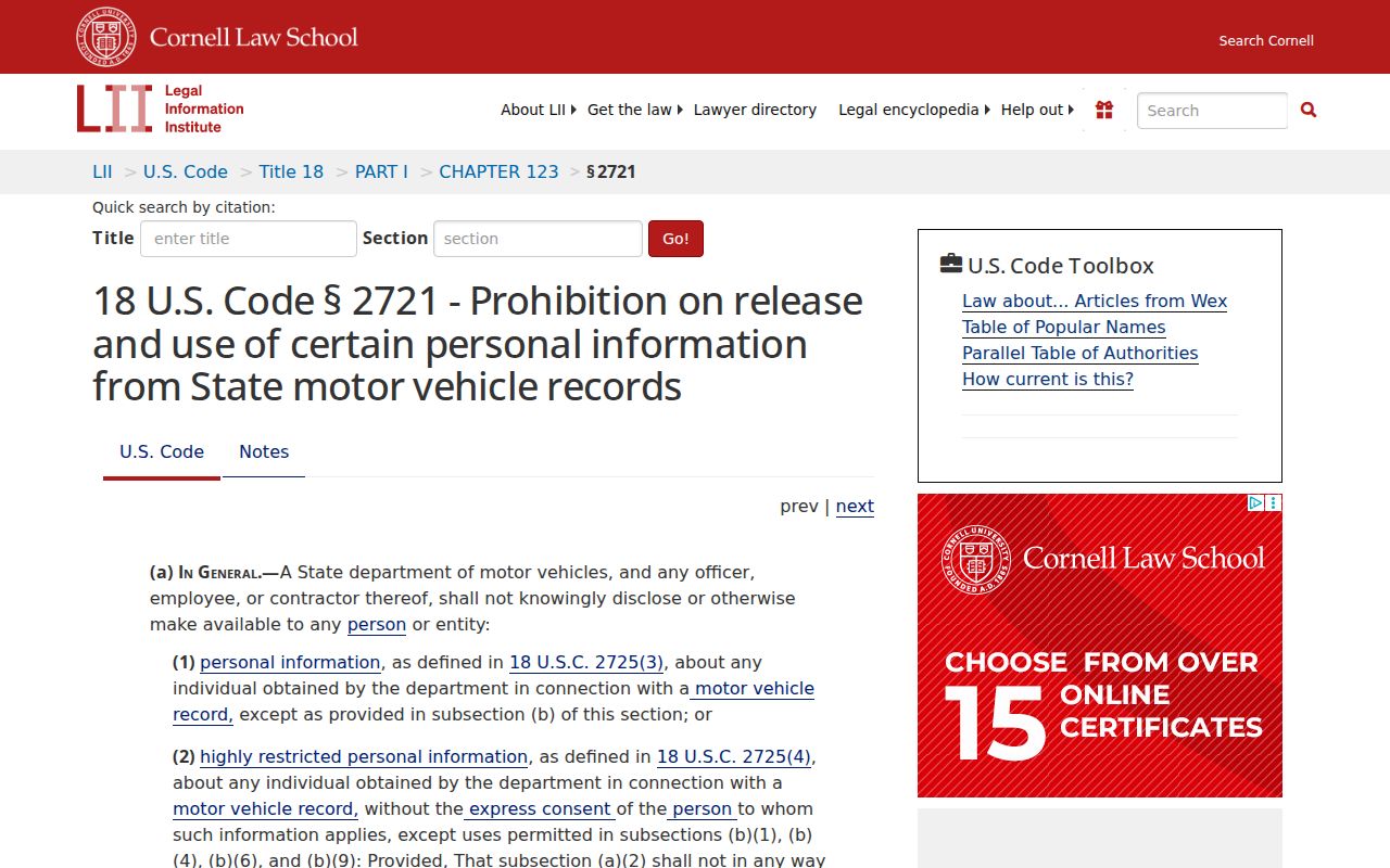
The statute explains why a public DMV resident roll cannot lawfully complete an address search. A blank or limited source is not permission to work around its access rules.
Lawful use. Use Gilbert address records for family history, property research, civic review, or personal safety. Never use a street record to stalk, harass, threaten, or harm anyone.