
Gilbert Neighbor Record Sources
A block lookup separates geography from identity. The parcel viewer establishes which lots adjoin the starting address. The Assessor supplies title-owner and mailing fields for each APN. Town GIS can identify an HOA or neighborhood organization. Planning and permit files add dated project facts. Voter material follows a restricted request process, and old reverse directories can show who was listed at an address in a past publication year.
| Source | What It Shows About a Block | Access |
|---|---|---|
| Assessor Parcel Viewer | Parcel shape, APN, and adjoining lots | Free interactive map; click parcels one at a time |
| Assessor parcel roll | Title owner, situs, mailing address, and current deed link | Free owner, address, or APN search |
| Town neighborhood GIS | HOA polygon, name, status, site, management, and parcel count | Free GIS service; not a member list |
| Voter file | Lawfully released registration fields at known addresses | Restricted request, fee, or free inspection appointment |
| Planning and permit files | Project address, applicant, contractor, dates, and notices | Town GIS or custodian request |
| Reverse directories | Past listed occupants by address for a publication year | State Research Library or digitized collection |
Each row proves something different. A deed names a title owner, not all residents. An HOA polygon marks an organization's area, not its members. A historical entry is fixed to its edition date. Keeping those limits visible prevents a Gilbert neighbor search from turning a set of public clues into a false household roster.
Map Gilbert Neighbors Parcel by Parcel
The Maricopa County Assessor Parcel Viewer is the cleanest way to define the immediate block. Its Search By menu accepts parcel number, owner name, address, subdivision, MCR, or section-township-range. An address autocomplete also accepts shortened forms. The result zooms to a selected parcel, and each touching polygon can be clicked to replace the feature panel with that lot's details.
- Enter the known Gilbert address and select the exact result. Record its APN and situs address.
- Click the target polygon, then each parcel that touches it. Write down each APN before moving on.
- Open those APNs in the Assessor roll. Record title owner and tax-mailing address as separate facts.
- Pan outward only as far as the chosen block or notice radius. Clear old results before a new search.
The map selection cap is 1,000, but an immediate-neighbor task normally needs far fewer clicks. The process is meant to preserve adjacency. A search of a whole named road is a different project covered by the Gilbert directory by street.
Note: A matching tax-mailing and situs address can support owner occupancy, but it still does not identify every person in the household.
Use Gilbert's Neighbor Notice Radius
Gilbert's development-notice instructions supply a local method for drawing the search area. They call for mapping property owners within 300 feet through Assessor data and identifying HOAs or neighborhoods within 1,000 feet. That is an official notice workflow, not a claim that everyone within the radius is a resident or association member. Still, it provides a repeatable answer to the vague phrase “near this address.”
Begin with the subject parcel and expand through nearby polygons. Preserve APNs, since street text can vary while the parcel key remains stable. Then check the Town neighborhood layer for an organization that overlaps the larger radius. The method is especially useful near a subdivision edge, arterial road, or parcel with a Gilbert mailing address that may sit outside the municipal line.
Insider tip. Use 300 feet for owners and 1,000 feet for registered HOAs, matching Gilbert's own development-notice method instead of guessing at a neighborhood radius.
Read Gilbert's Neighborhood HOA Layer
The Town's GilbertNeighborhoods GIS service exposes public HOA polygons and a related organization table. The layer can show a neighborhood name, registered status, website, management information, and parcel count. Status can change. Personal contact fields should not be republished, and the map does not make a private roster public.
The official Gilbert neighborhood service view is the right starting point for neighborhood and association boundaries:
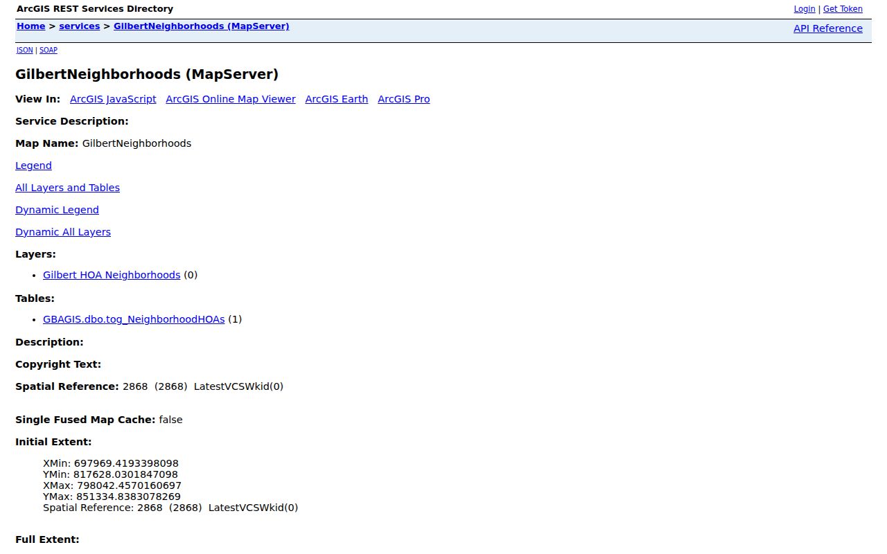
The service helps identify the organization connected to a parcel. Contact the named association through its public site for meeting, amenity, or community information, without assuming access to member data.
| Representative association areas | Public contact route | Research use |
|---|---|---|
| Agritopia, Finley Farms, Morrison Ranch | Website or management field in Town GIS, when present | Northern or central neighborhood boundary |
| Cooley Station, Gateway Ranch or Village | Website or management field in Town GIS, when present | Eastern subdivision and organization context |
| Bridges at Gilbert, Coronado Ranch, Freeman Farms | Website or management field in Town GIS, when present | Southern master-planned association area |
| Adora Trails, Greenfield Lakes, Gilbert Ranch | Website or management field in Town GIS, when present | Boundary and current registered status |
Gilbert's ArcGIS catalog also includes parcels, annexations, addresses, recorded plats, planning cases, buildings, and the Heritage boundary. Those layers explain why two nearby lots may have different jurisdictions or development histories.
Voter Data for Gilbert Neighbors
Arizona's voter tools are not open block browsers. The personalized county dashboard requires identity credentials. A separate public-record request can yield lawful voter-file fields, but A.R.S. § 16-168 controls access and use. Requests may cover the county or a legislative, congressional, supervisorial, or precinct area. They are not ordered by street, ZIP code, or radius.
The official Arizona voter-record statute shows the governing source:
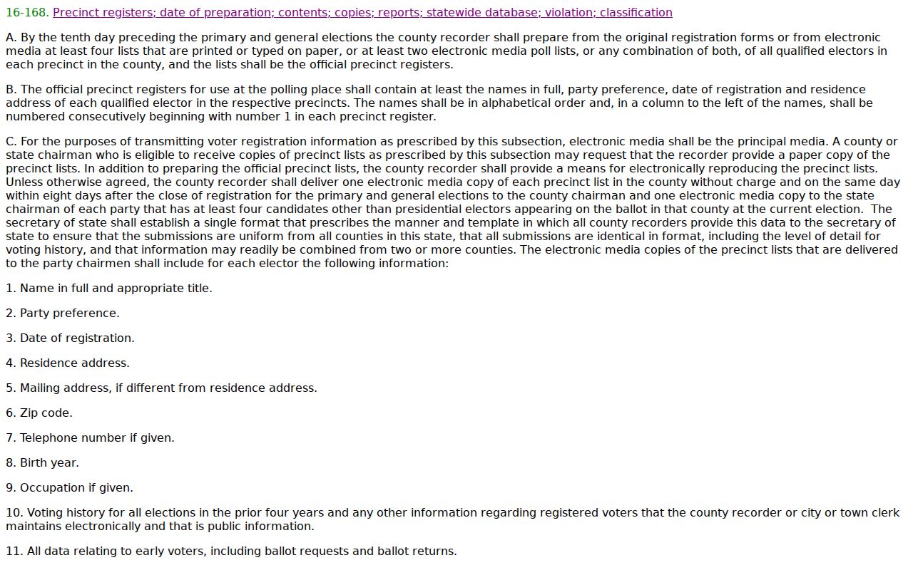
A lawful file may include name, registration date, residence and mailing addresses, party, phone when supplied, status, and participation history. It never reveals ballot choice. Protected voters are excluded.
The Recorder accepts voter-data requests through NextRequest, an emailed form, fax, or mail. An invoice comes before electronic delivery, and the secure link expires after two weeks. Free inspection is available by appointment. A local user may sort an authorized file by address, but the data cannot be posted online, transmitted without authority, or treated as a full roll of local residents.
Add Gilbert Block Record Context
Parcel names say little about why a block looks the way it does. Gilbert planning, building, and recorded-plat records add dates and project facts. The Town's public-record route covers GIS spatial data, building records, as-builts, and general Town material. Planning layers can expose a case location, while the Recorder's subdivision business-name search can find plats and recorded restrictions.
Access starts online through Town GIS and the Clerk's request portal. Development Services handles building and as-built files. A precise request should state the address, APN, record type, and date range. Older or non-indexed material may need staff research. The Recorder provides a web index and unofficial images, plus counter, public-record request, email, fax, and mail channels for material the portal does not settle.
Those records can identify an applicant, contractor, project owner, map, or meeting notice. None is a present-day household roll. Use them to explain the block and confirm parcels, not to infer who occupies a home.
Compare Gilbert Neighbor Sources
Official records and commercial neighbor tools serve different roles. The former are held by the office responsible for the parcel, filing, map, or registration. Commercial compilations combine public and marketing data, can charge, and may merge people who share a name. A convenient result still needs a source-date check.
| Source type | Best use | Key limit |
|---|---|---|
| Assessor and GIS | Parcel geometry, APN, title owner, mailing field | Owner does not equal occupant |
| Town and Recorder records | Planning, permits, plats, deeds, and dated public action | Each file answers one narrow question |
| Association public information | Organization name, boundary, site, and public contact | Not a resident or member roster |
| Commercial compilation | Possible lead for later verification | May be stale, merged, or stripped of source context |
The safest order is parcel map, custodian record, then a direct and respectful introduction when appropriate. Public access does not turn private contact into an entitlement.
Trace Historic Gilbert Neighbors
A past block needs sources tied to an era. The State Research Library lists a Chandler-Gilbert directory for 1982. Its Phoenix criss-cross holdings cover several years from the 1960s through 2011, but each volume's geographic reach must be checked before using it for Gilbert. A criss-cross directory reverses the usual order: address first, listed occupant second.
For the Heritage District, modern street text may not be the best key. The Town map names Gilbert Townsite, Creeds Addition, Ayers Subdivision, Hearne Addition, Cooper Addition, Lacy Tract, and Greenhaw Place. Search the Recorder by subdivision name, then connect lot and block to a modern APN. Census schedules through 1950 can add household relationships for the census date, while HD SOUTH preserves local photographs, school material, and family history.
A directory entry is evidence only for its publication year. Compare nearby addresses within the same volume, inspect its abbreviation key, and verify OCR against the scan. Then pair the address with a deed, census, obituary, or probate record. That method reconstructs a historic Gilbert block without projecting old names into the present.
Gilbert Neighbor Privacy Limits
The main local myth is simple: an owner roll or HOA map is not an occupant roster. Renters and household members usually do not appear in parcel data. Utility accounts and delivery data are not public directory substitutes. Motor-vehicle addresses are restricted under federal law. Voter files omit protected people and carry strict limits on use and publication.
Arizona's Address Confidentiality Program provides qualifying survivors a substitute address and mail forwarding. Other voter protections may seal a registration record. These safeguards explain why a map can have a blank, mailing-only, or protected result. A missing person should not be filled in through guesswork.
Lawful use. Research Gilbert neighbors for civic interest, history, reconnection, or personal safety. Never use a public address to stalk, harass, threaten, or repeatedly contact anyone.
Correct Gilbert Neighbor Data
If compiled data creates a safety or fraud problem, use the provider's verified privacy process and the relevant custodian's correction route. The Arizona Attorney General consumer complaint portal is an official escalation channel:
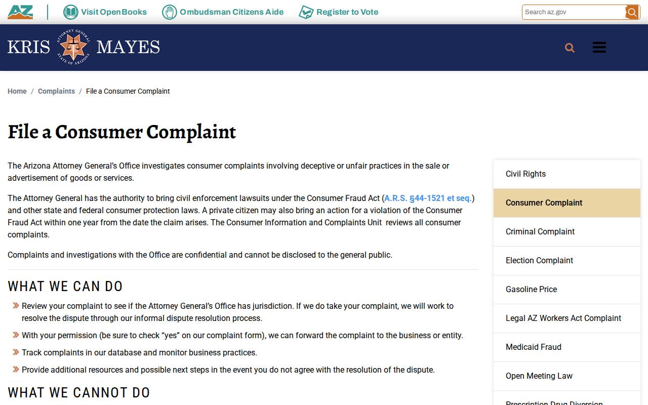
The complaint route addresses deceptive practices. It does not erase accurate deeds, parcel entries, or other public source records.